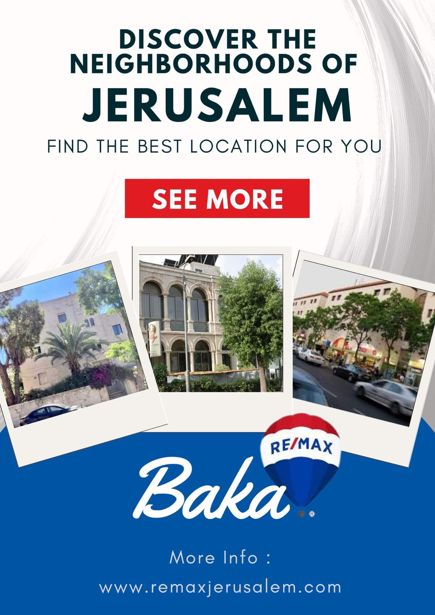
Baka neighborhood is somewhat trapezoidal, sandwiched between Derech Hevron on the east at 760 meters above sea level and sloping downward toward Derech HaRakevet and General Pierre Koenig Street on the western side at 740 meters. The old Jerusalem Railway Station occupies the north-eastern point with Rivka Street forming the southern base. Baka is bounded by Abu Tor to the northeast, Talpiot to the east, Talpiot Industrial Zone to the south, Mekor Chaim to the west, and the Greek Colony and German Colony to the northwest. The north-south Derech Beit Lehem serves as the major commercial artery within the neighborhood.
In the late 1970s and early 1980s, Baka experienced a significant change as middle class professionals began to move in. Many of the palatial homes were renovated, while some of the larger mansions from the Mandate period were subdivided into luxury apartments. Demographically, the neighborhood contains a mix of religious and secular Jews and is popular among English and French-speaking immigrants. The main commercial street, Derech Beit Lehem, is lined with shops, designer stores, coffee houses, restaurants and more.
Ramat Giv’at Zeev, a suburban settlement nestled in the Judean Hills just northwest of Jerusalem, continues to attract attention in the real estate market. As we step into 2024, it’s essential to explore the current price trends shaping the property landscape in this vibrant community.
Mevaseret Zion, nestled in the picturesque Judean Hills, is renowned for its scenic beauty, serene atmosphere, and proximity to Jerusalem.
.png)
The German Colony, HaMoshava HaGermanit, is a neighborhood in Jerusalem built in the second half of the 19th century. The name derives from the organization which founded the neighborhood- the German Temple Society; a religious Lutheran missionary society that believed in settling in the holy land.
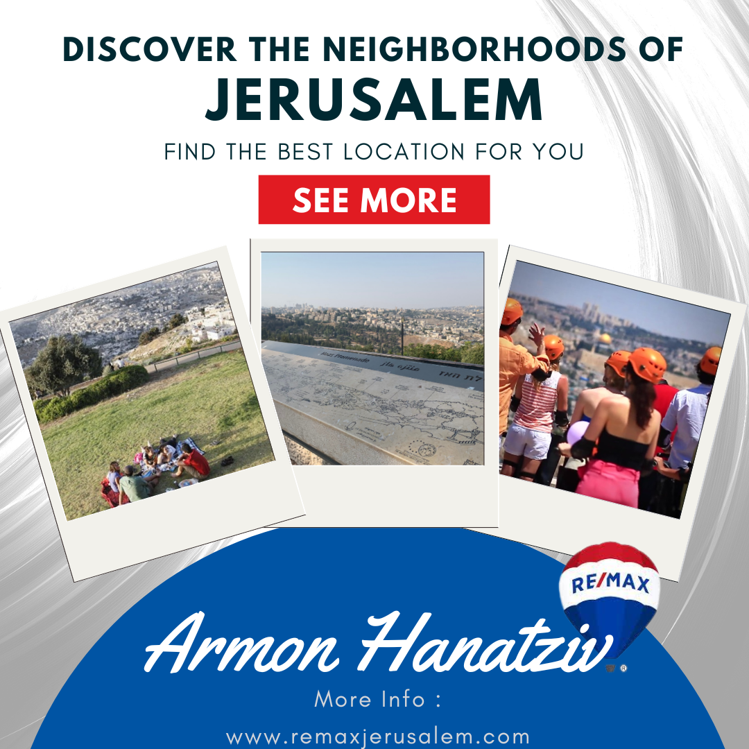
t’s a must in every tour of the city of Jerusalem-the breathtaking Haas Sherover Promenade, popularly known as the Tayelet, with its unobstructed sweeping views of the Temple Mount, Judean Hills, and on a clear day, the Dead Sea.
Tell us what you are looking for, and we will be happy to be of service to you
